Global Argo Marine Atlas
Available for download from an sftp server or from the https site.
For SFTP access: it is recommended to download an FTP client such as Cyberduck or FileZilla.
The host is pipeline.ucsd.edu.
The userid is: sftp_argo
Password is: Share-Ocean-Data
The file pathway is: /data/Global_Marine_Argo_Atlas/Global_Marine_Argo_Atlas_setup.exe
New installation (February 2020) |
|
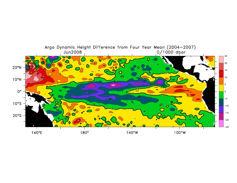
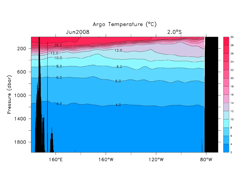
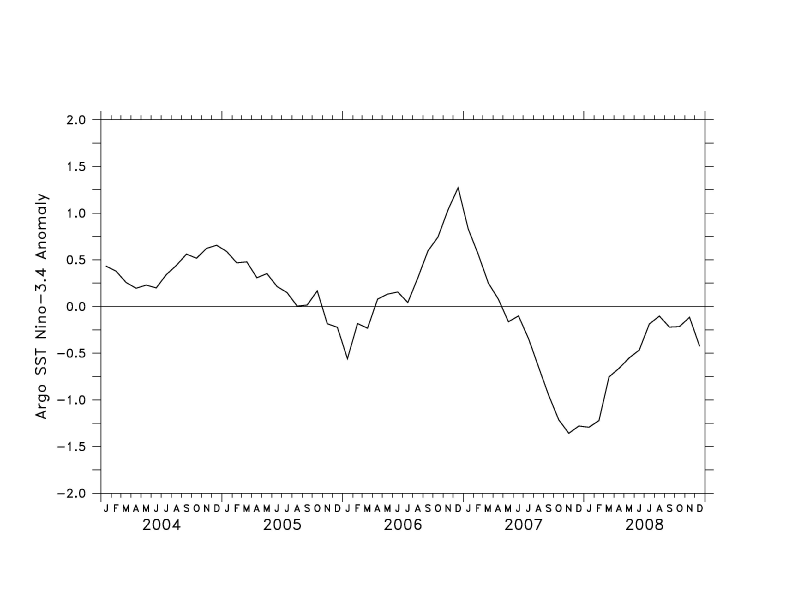
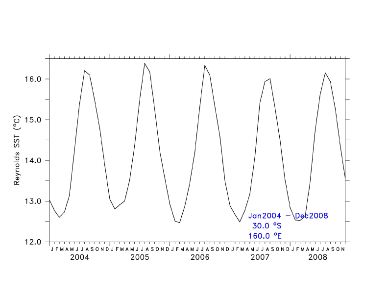
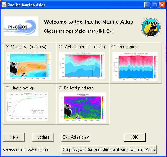
| A new version (1.6.0) of the Global Marine Argo Atlas is available for download and installation. This will replace older versions of the Atlas and is necessary because the Roemmich Gilson (RG) Argo grids have a new mean [2004 – 2018] and jnl files based on means have been updated. Both the Argo and the Reynolds SST grid are updated through August 2020. The AVISO grid is updated through September 2019. The feature to plot the Argo floats at the surface is currently unavailable, but should be fixed with the next update.
The update process with this new version 1.6.0 will aim for every three to four months. This is because entirely new RG Argo grids will need to be included in each update instead of just the latest RG monthly data. So, the size of the quarterly update is much larger to download, but once downloaded, the update process is much faster. The static Linux V1.6.0 and Mac V1.6.0 versions will be available soon. If you prefer to update the data in the Atlas yourself, without installing the update, go to the “Manually update data only” section for instructions. Most of the time, new installations include other files besides just the data, so it is important to use the new installations when they come out. In the meantime, the data in the Atlas is updated each month and made available on the website if you want to grab it yourself before the next update/install is ready. OverviewThe Global Marine Argo Atlas makes it easy for users to look at Argo data and compare it to other global data sets in one free program. The Atlas, made to view gridded netCDF datasets, particularly Argo, Reynolds SST and Aviso altimetry, comes with the data already included and can be updated monthly to receive new data as it becomes available. The gridded Argo dataset is produced at Scripps Institution of Oceanography by J. Gilson. The dataset is described here. In the Atlas, the dataset is actually split into two netCDF files instead of the one file produced by J. Gilson because of restrictions in the size of file possible for monthly updates. The larger file is split into two files, one containing the temperature variables and one containing the salinity variables. It is also possible to get a more recent update of Argo data in the equatorial region, every 10 days. This can provide the most current snapshot of what is going on in the ocean in the past several days. To look at the data, simply choose what type of plot to view and a new window will open with the requested plot. See the examples to the right of this page. The plots are produced using the Ferret graphing utility. The current plot options are map view, section view, line plot, time series, and a few simple products. It is possible to create both Postscript and JPGs of the plots produced. If you want to have more control over the plotting, it is also possible to use a command line style interface instead of the GUI. Here are some instructions to get started. As you become more familiar with Ferret, you can create your own programs to make exactly the plot you want. Installation instructionsDouble click on the downloaded executable file. Updating data in near-real timeRoughly each quarter (April, July, September, January), new Argo and Reynolds SST data from the previous months will be available to update the Atlas. Currently this is done by pushing the update button on the Atlas. If you have an old version of the Atlas, without an update button, download the new version and re-install the Atlas. Each year, you will need to install the new version of the Atlas as it cannot update for an entire year’s worth of data. After the new version for the year, quarterly updates will continue until the end of the year. When the update button is pushed, the Atlas will check the Argo and Reynolds SST files on your computer to see what the last date is in the grid. Then the Atlas will check the ftp site to see if new data is available. If it is, the Atlas downloads this new executable file and asks you to install it on your computer. Please follow the instructions and be patient as it can take some time to download the new data. If you are a few months behind the newest data, you will have to press the update button several times until you are up to date. At the beginning of each year, the entire Argo file must be replaced because a new mean calculation is done for the previous year and the monthly update file is very large. If you do not have access to a high speed connection, it may be difficult to download the update. If you are having difficulties downloading the file, please contact argo@ucsd.edu and a DVD can be sent with a new version of the Atlas with updated data. |
|
Manually updating data onlyUpdated data files can be downloaded directly from the website or the sftp server to your computer. This can be done monthly when the dataset is updated or when the entire grid has been replaced. Use the following steps: Download the Windows Argo salinity data set to your c:\marineatlas\ ferret\TMAP\fer_dsets\data folder. Rename the RG_ArgoClim_Psal_short.nc grid downloaded to RG_ArgoClim_Psal.nc Important notice:The file size for the RG Climatology has reached the size limit in the version of Ferret for Windows. Therefore, in the current Windows version(V1.4.0), the Atlas can only be used through June 2018. The RG Climatology is up to date on the website and can be used in the Linux and Mac versions. For Linux and Mac users, see the “manual update data only” section for instructions on how to get the latest data. New installation (February 2019)A new version (1.5.0) of the Global Marine Argo Atlas is available for download and installation. This will replace older versions of the Atlas and is necessary because the Roemmich Gilson (RG) Argo grids became too large for the Windows version of Ferret. To solve this, we changed the RG grids from double to single precision using a scale factor. This reduced the size of the RG grids by half and has let us continue using the rest of the Atlas in the same manner. The Linux and Mac versions of the Atlas can continue using the full size RG grids. Both the Argo and the Reynolds SST grid are updated through December 2018. The AVISO grid is updated through December 2017.The monthly update process is changing as well with this new version 1.5.0 to a quarterly update. This is because entirely new RG Argo grids will need to be included in each update instead of just the latest RG monthly data. So, the size of the quarterly update is much larger to download, but once downloaded, the update process is much faster. The static Linux V1.5.0 and Mac V1.5.0 versions are updated. New installation (February 2018)A new version (1.4.0) of the Global Marine Argo Atlas is available for download and installation. This will replace older versions of the Atlas and is necessary because the Argo grid was extended to include marginal seas which means the northern boundary moved from 65°N to 80°N. Other marginal seas were filled in as well. For more information on the Argo gridded data set, see the RG Climatology webpage. Both the Argo and the Reynolds SST grid are updated through December 2017. The monthly update will be available next month for January 2018. New installation (January 2017)A new version (1.3.2) of the Global Marine Argo Atlas is available for download and installation. This will replace older versions of the Atlas and is necessary because the 2016 monthly Argo extensions were recreated to include data from 62°S to 65°S. Both the Argo and the Reynolds SST grid are updated through December 2016. The monthly update will be available next month for January 2017 and they will continue until a new mean is created including 2016. New installation (November 2016)A new version (1.3.1) of the Global Marine Argo Atlas is available for download and installation. This will replace older versions of the Atlas and is necessary because of the new Argo mean (2004 – 2015) in the Argo dataset. Both the Argo and the Reynolds SST grid are updated through August 2016. The monthly update will be available soon for September 2016 and they will continue until a new mean is created including 2016. New installation (August 2016)A new version (1.3.0) of the Global Marine Argo Atlas is available for download and installation. This will replace older versions of the Atlas and is necessary because of the new datasets being included. Gray and Riser (2014)’s Absolute Geostrophic Velocities from Argo (AGVA) dataset has been added in the map, vertical section, time series, and line drawing sections of the Atlas. The Holte mixed layer depth dataset is also available in the derived products section. AVISO data goes now goes through December 2015. Point-to-point options are also available for the vertical section. The Argo mean will be updated through 2015 in the coming months. Linux and MAC versions are also updated to v1.3.0. New installation (April 2015)A new version (1.2.4) of the Global Marine Argo Atlas is available for download and installation. This will replace older versions of the Atlas and is necessary because of the new Argo means including 2014. The Argo and Reynolds SST data goes through December 2014. Monthly updates should resume in May or June. The static Linux and MAC versions are also updated to v1.2.4. As a reminder, both the Linux and MAC versions do not have monthly updates and must be manually updated. Also, both versions have not been tested on all versions of MACs or Linux. See the MAC README and the Linux README for more information and installation instructions. New installation (September 2014)A new version (1.2.3) of the Global Marine Argo Atlas is available for download and installation. This will replace older versions of the Atlas and is necessary because of an error discovered in the gridded Argo file used to make the plots in the Atlas. The fixed Argo and Reynolds SST data goes through July 2014. Monthly updates should resume in September or October. The static Linux and MAC versions are also updated to v1.2.3. New installation (May 2014)A new version (1.2.2) of the Global Marine Argo Atlas is available for download and installation. This will replace older versions of the Atlas and is necessary because of the newly averaged Argo data grid through the end of 2013. Version 1.2.2 has Argo and Reynolds SST data through April 2014. Monthly updates should resume in June. New installation (March 2013)A new version (1.2.1) of the Global Marine Argo Atlas is available for download and installation. This will replace older versions of the Atlas and is necessary because of the newly averaged Argo data grid through the end of 2012. Version 1.2.1 has Argo and Reynolds SST data through December 2012. Monthly updates should resume in June. Updated July and August 2012 dataAdditionaly Argo data has been recovered for the months of July and August 2012 and added into the Argo data grids. If you have a high bandwidth internet connection, the quickest way to get this updated data, as well as all data through October 2012, is to download the data files directly from the website or sftp server to your computer. Follow these steps: Download the Argo salinity data set to your c:\marineatlas\ ferret\TMAP\fer_dsets\data folder. If you do not have a high bandwidth connection, the easiest option is to download the latest install ( April 2012 version 1.2.0) and re-install it. After the installation is complete, bring the Atlas up to date by pressing the “update” button. The update button works on a monthly basis, so it will have to be pressed seven times – once for each month starting with April through October. New installation (April 2012)A new version (1.2.0) of the Global Marine Argo Atlas is available for download and installation. This will replace older versions of the Atlas and is necessary because the Argo data grid is now too large for Ferret, the graphing program behind the Atlas, to manipulate. Therefore, the Argo data grid has been split into two files, one with temperature and one with salinity variables. Version 1.2.0 has Argo and Reynolds SST data through March 2012 and monthly updates should resume shortly for April 2012 data and beyond. Trouble shootingCygwin dll: A potential problem running the Atlas is conflicting versions of the file “cygwin1.dll”. You may need to search your machine for cygwin1.dll. If you have more than one version, copy the most recent version of cygwin1.dll over any older versions. In a typical cygwin installation, you can find the file in: c:\cygwin\bin\cygwin1.dll In the Atlas, minimal cygwin installation, it is in: c:\cygmin\bin\cygwin1.dll. The Atlas uses Ferret and Ferret looks for cygwin1.dll in: c:\marineatlas\ferret\TMAP\cygwin1.dll Make sure that you have an Xserver running. If you have both a LAN and a wireless connection running, especially in Windows Vista, these can interfere with Ferret connecting to its Xserver. Disable the wireless connection, quite the Xserver and the Atlas. Restart the Atlas and try plotting again. SupportFor Atlas support, please contact Megan Scanderbeg (mscanderbeg@ucsd.edu) or Lisa Lehmann (llehmann@ucsd.edu). How to acknowledge data plotted in the Atlas:For Argo data: For Reynolds data: For AVISO data: For Gray and Riser’s AGVA data: For Holte mixed layer depth data: |
|